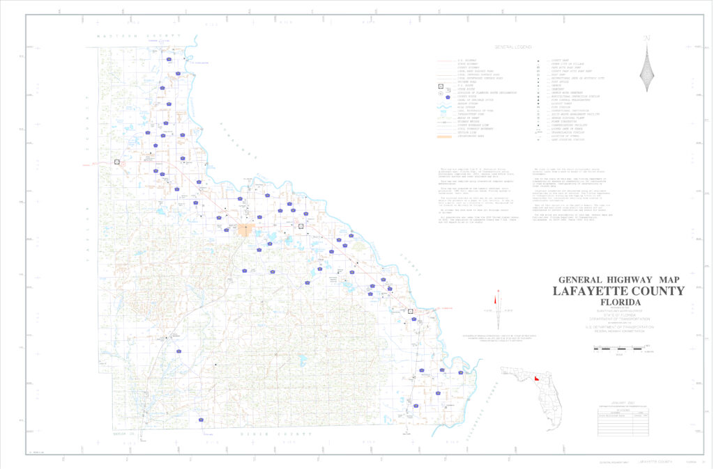
Reviewing a large high resolution map of an area is often one of the best ways to learn and understand what all is in and around the specific location. While GPS units are obviously in favor with many people now a days, a good old fashioned map is also very handy sometimes as they reveal a bit more information and details about the surrounding area that a digital map or aerial view does not always share.
The Lafayette county fl map below has information and details about the following roads, highways, towns and villages;
Towns / Villages
- Mayo, FL
- Day(town), FL
- Buckville, FL
- Midway, FL
- Hatchbend, FL
- Cooks Hammock, FL
Roads / Highways
- US Hwy 27
- State Road 51
- State Road 349
- County Road 53
- County Road 534
- County Road 354
- County Road 405
- County Road 360
- Many others
There is also a historic map archive for maps of Lafayette County that you may find interesting to see as well; Old Lafayette county FL maps


